Landed (Cadastral Maps)
Our current work plans to produce artists’ cadastral maps (maps of landownership) showing current and historical landownership of a rural area of north Lancashire, and revealing change over time.
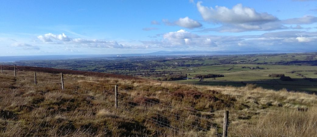
It focuses on a thin west-east slice of north Lancashire, from the remains of Cockersand Abbey on the coast, across upper Wyre, to the Trough of Bowland. This geographic slice includes seacoast with salt marsh tidal flats, farmland which has been reclaimed by sea defences, higher farmland, and moorland, including grouse moors. There are north-south transport routes through it including the Lancaster to Preston canal, the A6 main road, the west coast mainline railway, and the M6 motorway. Maps showing the general location are here, and a specific one is here.
A pilot research project was conducted by artist researchers Rebecca Chesney, Layla Curtis, and John Angus. They investigated and explored the sources and methods required to produce cadastral maps of the area. They gathered information from the Land Registry, various archives, conversations with local people, plus walking and cycling through the area.
A description of the pilot project research and results is here.
John Angus has continued to research the history of landownership in the selected area. An initial update is here. In 2019 he led a tour of the area for the Landscape Research Group. A brief account of ownership of land in Wyresdale by the Cawthorne and Fenton families, in the seventeenth to nineteenth centuries, is here. Two short reports on landownership shown by nineteenth century tithe surveys and maps of the area are here and here. He has also been creating some related screenprints.
Most other countries in Europe and the USA have cadastral maps which are fully accessible to the public, but the UK does not. The full project is intended to be an exploration of land ownership mapping in England, taking this area of north Lancashire as an example.
The pilot project was funded by Arts Council England and the Landscape Research Group.

